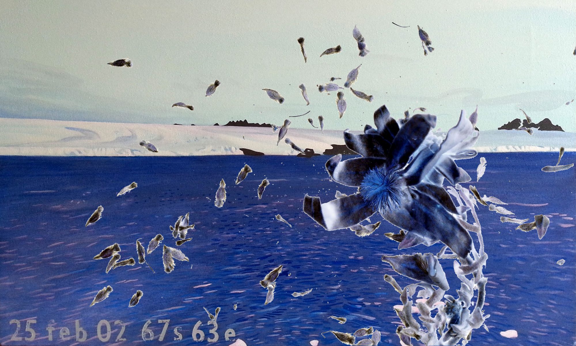


Image size: 1500mmx920mm
carbon and biopaint on fire paper
Animating the mapping of Antarctica, working with visual information since William Smith’s sighting and charting in 1819, and finishing with the satellite image taken for the United States Geographical Society in 1999.