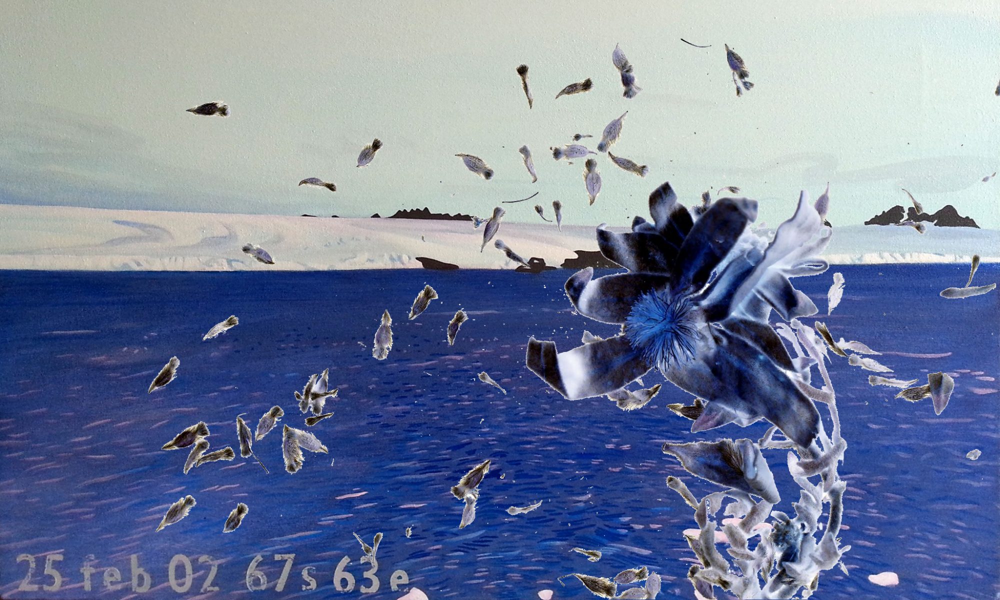
Philippe Boissonnet, Lorraine Beaulieu and Pamen Periera have mapped Antarctica in ways that suggest they experienced no line between themselves and Antarctic landscape.
I am setting up some code on the map page to randomly display their images [under construction!].
I want to suggest there is no one way to map Antarctica. Maps reflect different landscapes and what the map makers want you to know about them. All art is a kind of mapping if you consider all our internal and external landscapes as the places we explore.
Today Philippe Boissonnet writes:
I saw what you incorporated in your web from Lorraine’s works . It’s great also because each of us can add this link to some of our mails and contacts and so dissiminate your art cyberdocument which I like very much. Your drawings are elegant and suggestful!
As you proposed in your last mail to Lorraine, I add here the english translation which was on my invitation card at the Buenos Aires show in june. With 2 more photos that shows the video installation directly related to the Antarctica residence that I made in 2007 ( I presented some images at the Muntref conference. But now it’s fully ready and will be presented in Quebec next november). I also have a
Quicktime videoclip if you prefer.TEXT:
The Image of the World of Philippe Boissonnet
Philippe Boissonnet became aware at Ushuaia (2007) of an urgency to put the world as it should be, starting with the South, as did Nicolas Uriburu, to rid himself of a bias he inevitably carries with him ; that of a Northern view. His holographic globe puts the Southern Hemisphere into relief. In addition to the phenomenon of perception, which is at the heart of his artistic expression, this act has proven to be politically relative. He works, as always, on the margin, and the discontinuities between the various forms of artistic expression ; drawing, photography, sculpture, holography, digital imagery ; as well as the relativism of vision : perceptual and conceptual, real and imaginary, near and far, interior and exterior, central and peripheric, above and below. He floods the imagination with metaphors. Thus, « Calvitie (La conscience d’Atlas)
» represents a cranium tattooed with a cartographic image of the South Pole. He sees the Earth as a living organism, by merging its image with bodies, nude, and by identifying it through myths : Gaïa, Atlas – it is humanity which carries the Earth and Galileo who revolutionized our cosmogony. Humans have always been a measure of everything, according to greek proverbs. Today, once again : the North is in the South.by Hervé Fischer
Artist and mythanalyse philosopher (Montréal)